[an error occurred while processing this directive]  |
Lidar workshop
The SVALI lidar workshop was held in the days June 20-21 at Reykholt, Iceland. The venue of Reykholt is a historic place in Iceland, close to major hot springs and glaciers. A total of 39 scientists participated in the workshop giving a total of 18 talks, with two additional presenters (Michael Studinger and Michelle Hofton, NASA), giving talks on a Skype big-screen link. A total of 10 posters was presenting during an outdoor poster session on June 21 (taking advantage of exceptionally good weather). The scientific presentations spanned a large set of subjects related to airborne and terrestrial lidar measurements, from hardware systems and new developments (photon counting and space- og high-altitude aircraft systems), over application for large scale mapping (such as the NASA IceBridge program, ESA CryoSat validation campaigns, and national glacier lidar programs in Iceland and Norway), to presentations on local glacier and snowfield surveys for change measurements or geopmorphological studies. The wide span provided an excellent overview of the entire science field, and good indications for the future technological developments in the lidar area, and upcoming lidar space missions such as IceSat-2. The workshop was closed by a snowmobile excursion on the Langjökull glacier (2nd largest Iceland glacier) giving the participants a hands-on feeling for the complexities of Iceland glacier surface and lidar mapping. The participants thanked the organizers (Tómas Jóhannesson, Icelandic Meteorological Office, and Eyjólfur Magnússon, Earth Science Institute, University of Iceland) and SVALI for arranging this unique workshop.
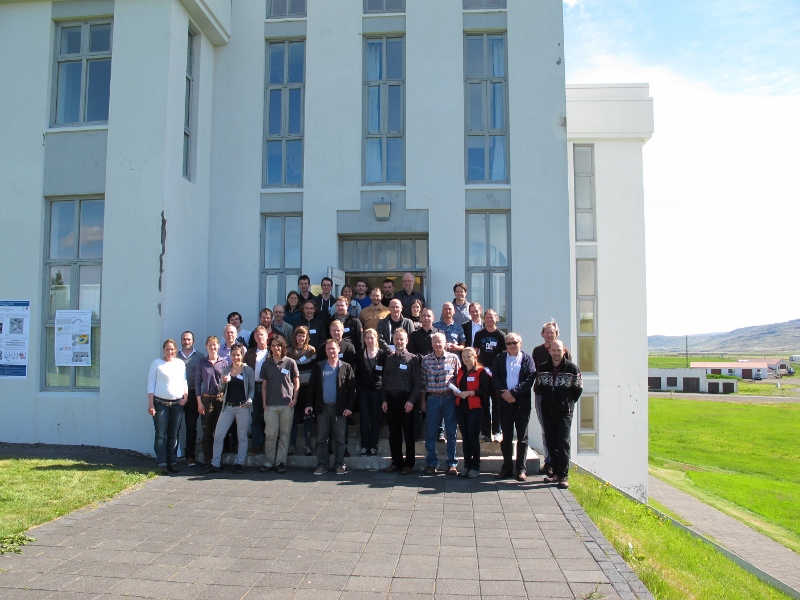
Picture 1: The participants at the workshop outside old school building at Reykholt. The weather during the workshop was so good that the poster session took place outside the building.
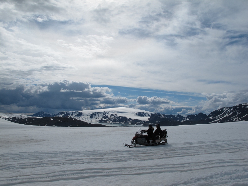
Picture 2: Two participants in the snow scooter excursion on Langjökull with the dome-shaped Þórisjökull ice cap in the background.
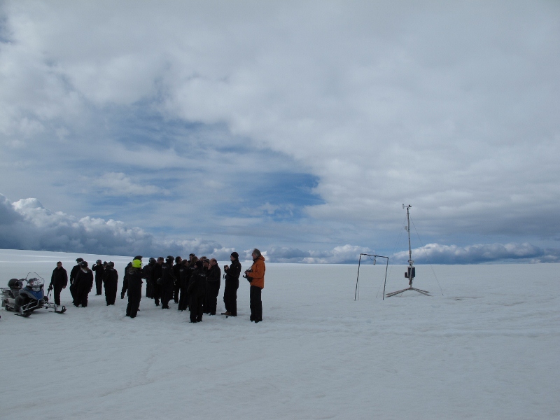
Picture 3: Excursion participants discussing boundary layer meteorology at an automatic weather station run by the Institute of Earth Sciences at the University of Iceland at 1100 m a.s.l. on S-Langjökull.
|